Mid-Atlantic Elevation Maps from EPA's Bush-era Sea Level Rise Study

A multi-year project by the US Environmental Protection Agency's Global Programs Division developed regional, state, and county-scale elevation maps to illustrate vulnerability to sea level rise, using existing data. EPA published the peer-reviewed technical documentation, but not the maps themselves. But you can get them here.
Entire States
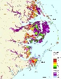
Low resolution data is very well suited for maps that show an area the size of an entire state--especially at the one-meter contour interval.
Places with New Data
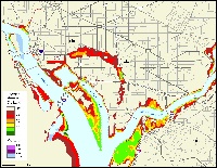
Maps that use LIDAR or very low flying planes are often designed to provide 2-ft contors.